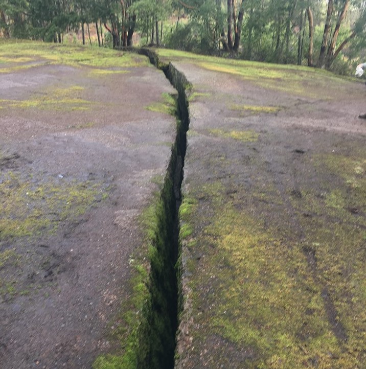
The Abyss is an 8.9 km trail named after an infamous earthquake fissure.
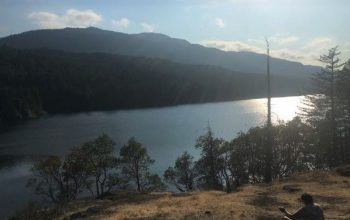
This moderate trail is set in a natural forest with views of Nanaimo and the Strait of Georgia on one side and the valley of Extension on the other side.
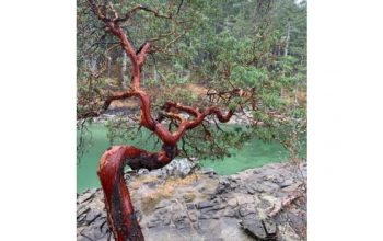
The trail involves some climbing and winds its way up initially by steps and then along a rocky cliff to the top, where it wends past Arbutus groves in a more easy manner along a ridge.
Getting to the Abyss takes about 25 minutes and visitors usually stop to take pictures of the earthquake fissure. The actual crack is about 16” wide but it’s not known exactly how deep it is.
It’s also not known exactly when it happened but it is wide enough for a small dog or child to fall into so caution is urged.
The area has been marred by clearcuts but these also provide some nice views looking over Nanaimo and the Strait.
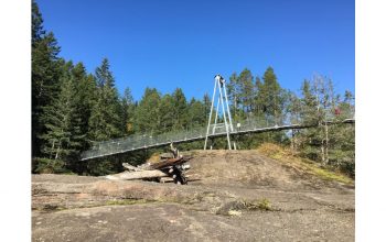
The Abyss is part of the Extension Ridge trail which continues along past the Abyss, where visitors will come across a small labyrinth.
From there, hikers and mountain bikers will often stop at a ridge overlooking the Extension valley where a bench has also been put to rest or enjoy a light lunch.
Those who choose to continue can hike the trail into Extension, as it is part of the Trans Canada Trail.
To Get There
Take Harewood Mines Road and look for the sign indicating parking. Follow the gravel road and take the wooden stairs to the right up the hill.
Trail Availability
This moderate trail is family and dog friendly, and used by hikers and mountain bikers alike